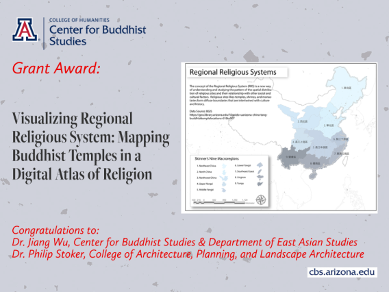
We are pleased to announce that our Center Director Dr. Jiang Wu and collaborator Dr. Philip Stoker, Assistant Professor of Landscape Architecture and Planning, recently received a College of Architecture, Planning, and Landscape Architecture (CAPLA) Grassroots Seed Grant. Their project, Visualizing Regional Religious System: Mapping Buddhist Temples in a Digital Atlas of Religion, has been approved for funding totaling $7,000.
Dr. Wu and Dr. Stoker will develop a digital atlas for the Buddhist temples and monasteries in the Hangzhou area of China. The broader goal is to create a full atlas for all provinces in China, but this seed grant will provide the catalyst to start this project and help to secure future funding and support. The proposal builds upon a previous project: the Regional Religious System Project Maps and the Buddhist Geographical Information System (BGIS). These projects created a searchable database of Buddhist monasteries to promote studies about the geographical distribution of Buddhism, pilgrimage networks, and their relationship to other social and cultural events and phenomena. However, this dataset has not been designed nor produced for a broad audience. The funding from CAPLA will support the design, production, and data refinements for this atlas.
Data visualization is right now one of the primary research areas for data scientists and digital humanities scholars. The current BGIS data can help researchers understand how regional formations of economic, cultural, and social factors contribute to the emergence of a unique “Chinese regionalism.” But this data can reach an even broader audience through better visualization in a digital atlas. A key component of this work will be communicating to a broad audience, and because this data is inherently spatial, the maps in this atlas have to be well designed to communicate clearly. Better visual communication will improve both teaching and future research.

